newtown creek
SOUTH END OF IVY HILL ROAD
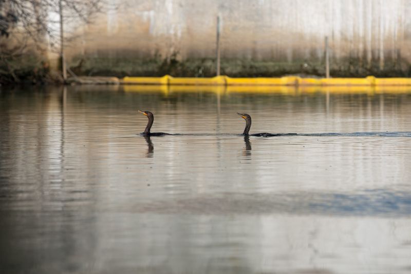
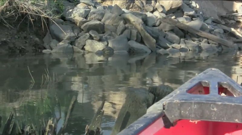
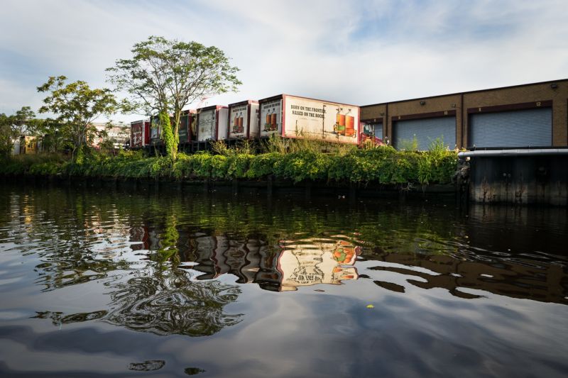
Newtown Creek is a 3.8-mile long tidal water body located in the City of New York, having five principal tributaries (Dutch Creek, Whale Creek, Maspeth Creek, East Branch and English Kills) and is itself a tributary of the East River. The creek is a part of the New York – New Jersey Harbor Estuary that forms the north-south border between the New York City boroughs of Brooklyn and Queens. In the mid 1800s, the area adjacent to the 3.8 mile Newtown Creek was one of the busiest hubs of industrial activity in New York City. More than 50 refineries were located along its banks, including oil refineries, petrochemical plants, fertilizer and glue factories, sawmills, and lumber and coal yards. The creek was crowded with commercial vessels, including large boats bringing in raw materials and fuel and taking out oil, chemicals and metals. In addition to the industrial pollution that resulted from all of this activity, the city began dumping raw sewage directly into the water in 1856. During World War II, the creek was one of the busiest ports in the nation. Currently, factories and facilities still operate along the creek. Various contaminated sites along the creek have contributed to the contamination at Newtown Creek. Many businesses along Newtown Creek still operate without city provided sewer services. Water flow into Newtown Creek currently consists mostly of storm water runoff, combined sewer overflows (CSO), and discharges from permitted and unpermitted pollution sources. The creek rises and falls with the tide, but it is mostly stagnant. Newtown Creek is a navigable waterway under the jurisdiction of the Coast Guard, and the channel must be maintained for shipping purposes. Various sediment and surface water samples have been taken along the creek. Hazardous substances, including pesticides, metals, PCBs, and volatile organic compounds (VOCs), have been detected at the creek. The New York City Department of Environmental Protection has sampled sediment and surface water at a number of locations in creek sediments since 1980. Investigations and remediation under state or federal programs have also been conducted at properties adjacent to the creek to abate continued discharges of pollution to the creek from those facilities. The majority of the upland area bordering Newtown Creek is within one of three Industrial Business Zones of the City of New York, and the majority of Newtown Creek has also been designated by the City of New York as one of the City's six Significant Maritime and Industrial Areas. However, the creek is also currently used occasionally for recreational purposes by kayakers and there is fishing access along the banks.
Hazardous Ranking Score
50 / 100
A score of 28.5 or higher qualifies a site for the Superfund National Priority List.Subscribe
Timeline
Contaminants & Health Effects
Census
67,993 |
People living within a 1 mile radius |
$74,569 |
Average Income |
26,553 |
Occupied homes |
Potentially Responsible Parties
Similar Sites
Stories
EPA Interview Regarding Superfund Data
Brooke Singer
February 11, 2016
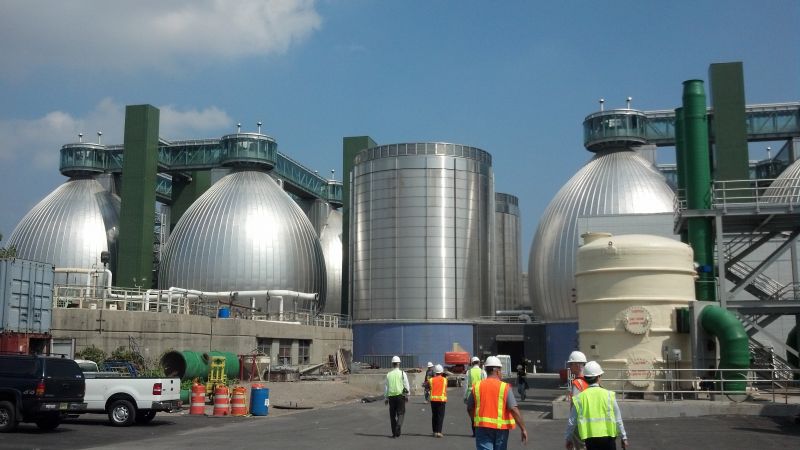
The Eggs
Larry S.
September 13, 2015
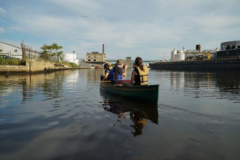
Newtown Creek Canoe Expedition
Brooke Singer
September 03, 2015